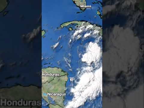
Helene steadily strengthened into a Category 2 hurricane early Thursday morning and is poised to strike the northeastern Gulf coast tonight as a major hurricane, bringing catastrophic winds and storm surge into Florida’s Big Bend from east of Apalachicola to Florida’s Nature Coast, centered on Apalachee Bay.
The National Hurricane Center is forecasting up to 20 feet of life-threatening storm surge, one of the most dire storm surge forecasts you can expect to see from NHC. The most at-risk coastal communities for catastrophic storm surge flooding include St. George Island, Alligator Point, and St. Marks eastward to Keaton Beach, Steinhatchee, Suwannee, and Cedar Key.
Because Helene is so large, with its strongest winds on its eastern side, a wide stretch of Florida’s Gulf Coast will see significant coastal flooding, including into Tampa Bay where up to 5 to 8 feet of coastal inundation is possible for low-lying communities.
Coastal tide gauges were already approaching moderate flood stage along the coast of southwest Florida on Thursday morning as Helene’s center churned nearly 300 miles offshore, a testament to the storm’s power.
Extreme winds and flooding across the southeast U.S.
Helene is a notably larger hurricane than recent storms into the Big Bend and the breadth of its tropical storm winds (winds 39 mph or higher) stretches nearly 500 miles across, more than half the width of the entire Gulf of Mexico. By Thursday afternoon, nearly the entire Florida peninsula will be experiencing tropical storm winds from Helene’s massive circulation.
Conditions will deteriorate quickly in north Florida by late Thursday afternoon and evening, with hurricane conditions expected across west-central Florida and the eastern Florida panhandle tonight. On the current forecast track, the core of Hurricane Helene – with its worst winds and considerable, widespread impacts – is expected to move near or over the state capital in Tallahassee by the midnight hours. Because the hurricane will be accelerating so quickly, destructive wind gusts are expected to be stronger than usual across inland areas.
Hurricane conditions are expected throughout south Georgia from late Thursday to the very early, pre-dawn hours Friday. Wind gusts to hurricane strength – as high as 70 to 80 mph – are possible all the way into north Georgia, including the Atlanta metro, very early Friday morning as Helene rushes into the Tennessee Valley.
Besides the catastrophic storm surge, destructive winds, and widespread power outages, considerable and possibly catastrophic urban and flash flooding is expected from heavy rainfall, not only near where Helene comes ashore in north Florida and south Georgia, but into north Georgia and the mountains of the western Carolinas.
The complex terrain of the southern Appalachians will worsen the heavy rainfall as Helene draws near Friday. Up to 18 inches of rainfall is being forecast in parts of the southeast U.S., and mudslides and landslides could be a threat for mountainous locations.
The remnants of Helene will pivot westward and wash out over the Tennessee Valley this weekend.


